Wonder what a normal day feels like in South Kona along the coast? Picture early sun on black lava shores, mid-morning coffee runs, and late afternoons snorkeling in clear water. If you’re thinking about moving here, you want the real picture of routines, services, and how neighborhoods work day to day. This guide walks you through daily life from Captain Cook to Hōnaunau and Miloliʻi so you can decide if South Kona’s rhythm is a fit. Let’s dive in.
South Kona at a glance
South Kona stretches along the coast from the Kealakekua and Captain Cook area down past Hōnaunau toward traditional shoreline villages. Upslope, the famous Kona coffee belt runs through small farms and rural lots. The elevation band above the highway creates a unique microclimate that supports coffee and draws many residents to live mauka for cooler afternoons and broad ocean views. You see two linked lifestyles here: shoreline living by the water and coffee-country living above.
If you’re new to the area, you’ll hear locals use “mauka” for upslope and “makai” for downslope. The connection between the two is part of daily life. You might work on a farm in the morning, run errands along Mamalahoa Highway, then swim or snorkel before sunset. For a deeper look at why coffee thrives here, check the University of Hawaiʻi CTAHR’s overview of Kona coffee and growing conditions in West Hawaiʻi.
Daily rhythm and errands
Mornings are busy with work, farm tasks, and school drop-offs. By mid-morning, many people stop at small markets or farm stands for fresh produce. Sundays and market days are social, with local farmers markets acting as hubs for groceries and community.
- Link: Explore local farmers markets
For full-service groceries, big-box retail, major pharmacies, and banks, most residents head to Kailua-Kona. Depending on where you start, a drive from the Captain Cook or Kealakekua area into central Kailua-Kona is often about 15 to 30 minutes in normal traffic. Build in extra time during peak hours and always check a live route from the property you are considering to your go-to store or clinic.
Getting around and core services
Public transit exists, but most households rely on a car. Hawaii County’s Hele-On system runs a South Kona route connecting Captain Cook and Hōnaunau to central Kailua-Kona on a multi-hour schedule. If you plan to ride, look up times and plan around the gaps.
- Link: Review the Hele-On Route 204 schedule
For healthcare, Kona Community Hospital in Kealakekua offers 24-hour emergency care and a wide range of inpatient and outpatient services for West Hawaiʻi residents. For certain specialties, you may need to travel to a larger regional center or to Oʻahu. If a specific specialist matters to you, confirm availability directly with the hospital.
- Link: Check services at Kona Community Hospital
Public schools in the Kealakekua and Captain Cook area include the Konawaena campuses, which serve much of South Kona’s student population. If schools are part of your move, review official resources and speak with the district to understand zoning and bus routes for your address.
Outdoor life and cultural shoreline
South Kona’s coastline is a daily playground for many residents. Kealakekua Bay and the Puʻuhonua o Hōnaunau area are two of the most beloved and culturally important spots. Kealakekua Bay’s clear waters draw snorkelers and kayakers, while the national historical park at Hōnaunau offers quiet coastal paths and adjacent access to the famed Two Step entry. These areas are popular, so parking fills early, especially on weekends and holidays.
Because these are protected cultural and ecological places, take a moment to read park guidance before you go. Kealakekua Bay is a designated Marine Life Conservation District, and snorkeling, anchoring, and access rules can change. Knowing where the park boundary is, and what is permitted in each zone, helps you be a good neighbor and a respectful steward.
Further south, Miloliʻi is often described as a traditional fishing village with deep local roots and more limited municipal infrastructure. Nearby coves and hikes, including the trail to Honomalino, are part of everyday recreation for many residents. If you visit, do so with humility, pack out what you pack in, and respect local preferences for quiet and considerate behavior.
- Link: Learn about Miloliʻi
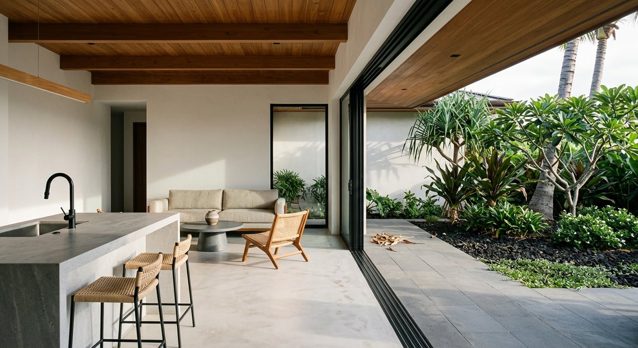
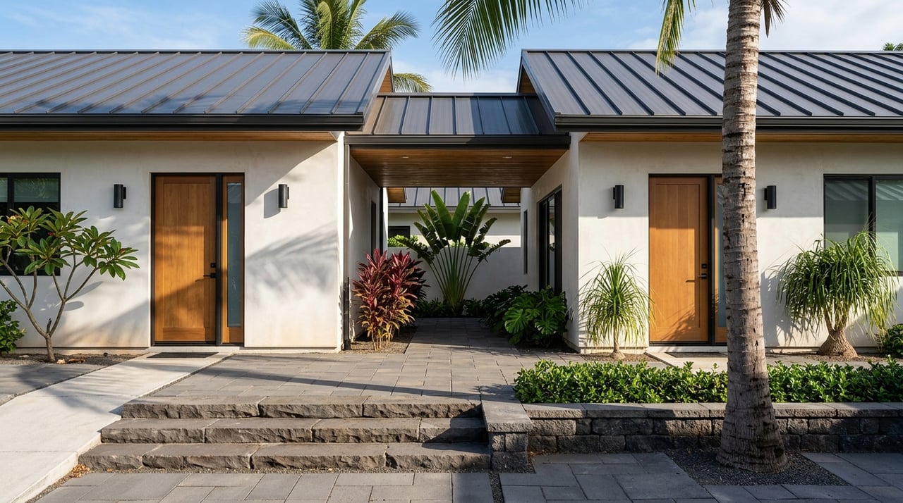
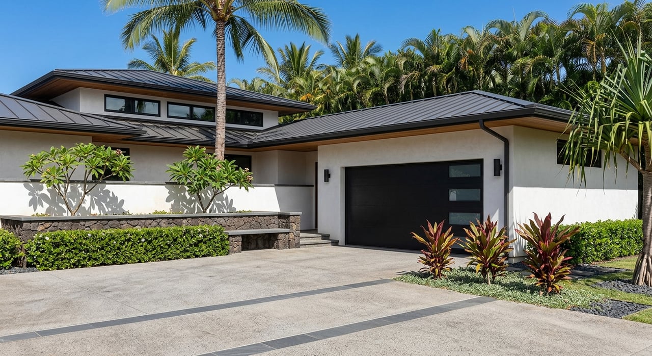
Housing patterns you will notice
You will see two broad housing patterns in South Kona, each with a different feel.
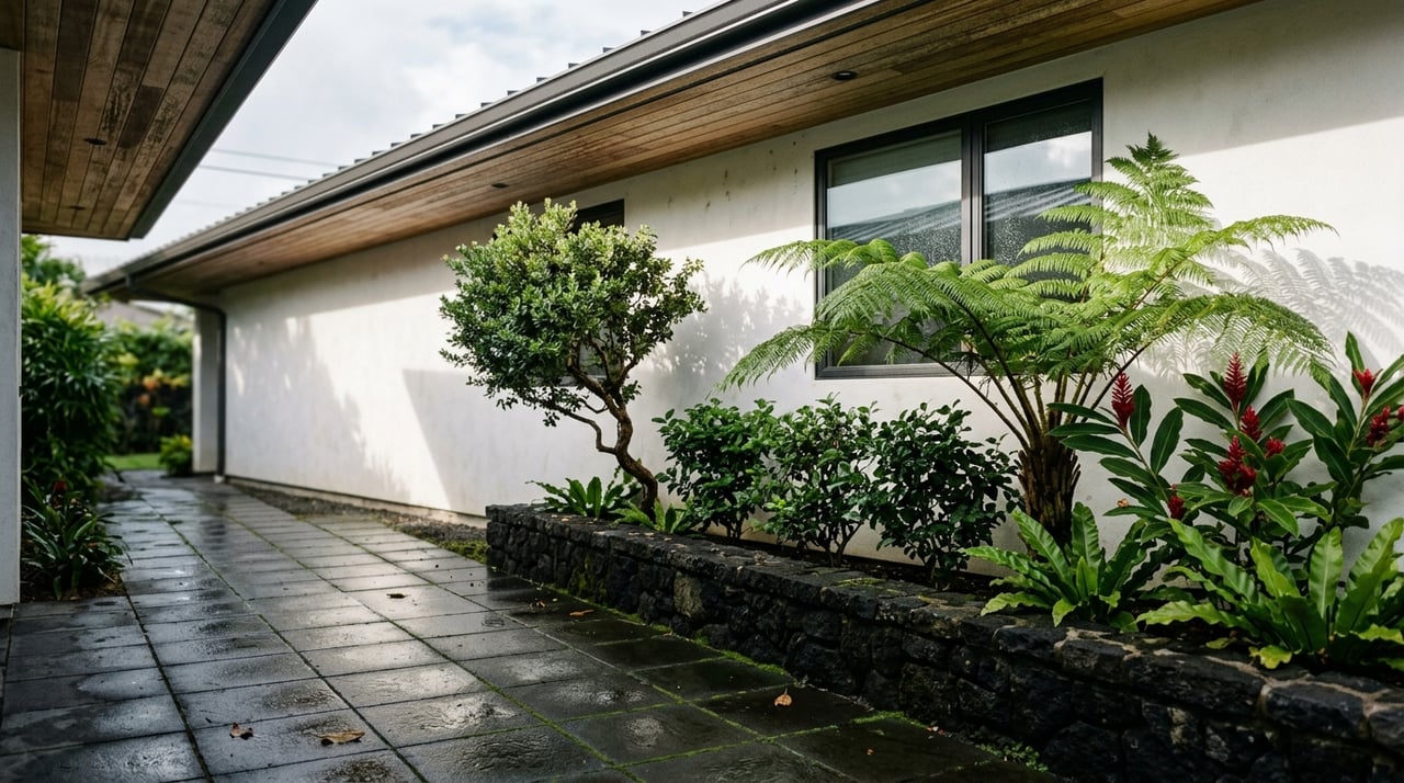
Older shoreline pockets. Along the coast are compact clusters that grew from historic fishing and shoreline communities. Homes here can include mid-20th-century cottages or ranch-style houses on smaller lots. Street widths may be narrow, and some areas were developed before modern county water or sewer lines reached them. Communities like Miloliʻi reflect this traditional shoreline pattern.
Newer mauka pockets. On the slopes above Mamalahoa Highway, you will find rural subdivisions, estate lots, and newer construction nestled among coffee farms and small agricultural parcels. County planning guides how these rural clusters develop, including lot sizes and infrastructure standards.
Link: See the Kona Community Development Plan guidelines
If you are comparing neighborhoods, weigh proximity to the shore against the practical tradeoffs. Shoreline pockets deliver immediate ocean access and a tight-knit setting. Mauka pockets offer cooler afternoons, bigger lots, and room for orchards or small agriculture. Many residents choose based on their work routine, preferred climate, and the infrastructure that matters most to them.
Utilities, internet, and day-to-day practicals
In rural parts of South Kona, some homes rely on private rainwater catchment systems and septic wastewater disposal where county utilities do not extend. That is a long-established practice. Before you write an offer, confirm the property’s water source, tank size and maintenance history if it is catchment, septic permits, and the status of electrical service. Solar plus battery and generator setups are common solutions in certain pockets.
Internet and cell coverage vary by address. Some areas have cable or fiber, while others rely on fixed wireless or satellite. Always test signal on site, check what a provider will actually install at your driveway, and confirm upload speeds if you work from home.
- Link: Research broadband availability in Hawaii
Natural hazard awareness
On Hawaiʻi Island, lava flow hazard zones are a standard part of due diligence. Designation can affect insurance availability, lender policies, and your personal risk comfort. When you shortlist homes, look up each property’s zone and ask your insurer and lender about implications. Local agents can help you read the map and factor it into your decision.
- Link: Review the USGS lava flow hazard zones map
Your quick relocation checklist
Use this list during property tours and while you compare neighborhoods:
Water source. Is the home on county water or private rainwater catchment? If catchment, is the cistern capacity right for your household, and when was it last serviced or tested?
Wastewater. Is there a permitted septic system? Ask for permit records and the date of the last inspection or pump service. The County planning documents outline rural infrastructure standards that can guide your review.
Access and roads. Note whether access is on narrow county roads or private drives. Check grades, single-lane stretches, and turnaround space for emergency vehicles.
Communications. Test cell coverage inside the home and on the lanai. Verify which wired or wireless ISPs will commit to install at your address.
Cultural and coastal rules. If the property is near a state park or cultural site, confirm public access details and any shoreline restrictions before assuming you can launch, anchor, or collect.
Hazard and insurance. Confirm the home’s lava zone and discuss insurance availability and cost with your insurer early in the process.
Link: Reference the Kona Community Development Plan guidelines
How a local advisor helps
South Kona rewards buyers who ask the right questions early. A local agent can compare shoreline versus mauka pockets for your routine, confirm utility details with sellers, and coordinate specialists for inspections. When it is time to write, you have a clearer picture of value, lifestyle fit, and any added costs tied to infrastructure or insurance.
If you are exploring homes from Captain Cook to Hōnaunau or considering land upslope in coffee country, let our team guide you with warm, local expertise. Reach out to Kona Pacific Realty, LLC to talk through your goals and start your South Kona search.
FAQs
How far are full-service groceries from Captain Cook and Kealakekua?
- Many households make a 15 to 30 minute drive to central Kailua-Kona for big-box and full groceries in normal traffic, and use South Kona’s small markets and farmers markets for weekly staples.
Is public transit a realistic option for daily commuting in South Kona?
- The Hele-On South Kona route runs on a multi-hour schedule, so most residents rely on cars and use the bus for specific trips that fit posted times.
Are there hospitals and specialists nearby for South Kona residents?
- Kona Community Hospital in Kealakekua provides 24-hour emergency care and many inpatient and outpatient services, while some specialty care may require travel to larger centers or Oʻahu.
What are the rules for snorkeling at Two Step and Kealakekua Bay?
- Read the National Park Service guidance before you go, respect cultural protections, and be aware that Kealakekua Bay has special regulations that can limit certain activities.
How dependable is internet service at South Kona homes?
- Coverage varies address by address; you should test on site, confirm which wired or wireless ISPs will install at your location, and verify real upload speeds.
What should I know about lava hazard zones before I buy?
- Check the home’s USGS lava flow hazard zone and talk with your insurer and lender early, since zone designation can influence coverage and lending.